• website logo

    Demonstrating technical acumen in spatial technologies and solutions. We transform information to insight.

    ELEV8 offers a variety of spatial technologies and related services to support Planners, Permitters, Developers, Construction Managers and more.

  • GEOSPATIAL SERVICES

    GIS technologies are the core of our service offerings. In today's business world, GIS has become an integral tool in the decision making process. Because location is an underlying trait to all data, GIS should be a fundamental component of your information systems as well.

  • MAPPING & CARTOGRAPHY

    Communication is key. We understand the power and potential in visual communication. ELEV8 excels in transforming complex data and analyses into easily interpreted graphical products tailored to your intended audience. We combine creative methods with cartographic and design standards to yield truly impressive maps and related graphical products.

  • WEB & APPLICATION DEVELOPMENT

    In today's world, easy and efficient access to pertinent data and services is no longer a desired convenience, it's a necessity. Your clients and work personnel want immediate access to spatial data and related information to stay informed, increase productivity and perform operations unimpeded, no matter the location or time of day. ELEV8 provides a suite of web and application development services to meet those needs. Whether deploying simple web-based mapping applications to serve and display data, or building complex mapping applications with customized features and functionality tailored to your needs, we have cost-effective development solutions for you.

  • 3D MODELING & VISUALIZATION

    They say a picture is worth a thousand words. At ELEV8, we create images worth more. Our visualization services transform your ideas into life-like images and animations, providing a highly effective means of visually communicating your concepts and proposals. Whether creating complex, spatially-accurate modeled 3D environments and landscapes, or performing simple photo-realistic graphic simulations, we have solutions to bring your plans to life.

About us

who we are

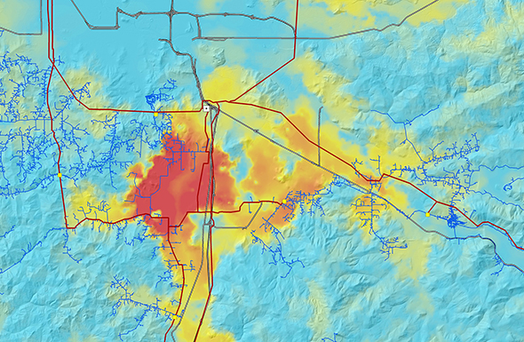
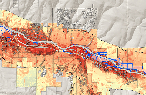
ELEV8 is a multi-disciplinary technology firm with extensive experience and expertise in geospatial, statistical and visual analyses. Utilizing Geographic Information Systems (GIS), we leverage location-aware data to develop creative solutions to complex problems, discover order in chaos and create artistry from spatial information. Our solutions are data-driven and employ a range of software platforms and related technologies to yield credible and defensible results.

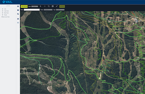
ELEV8 provides a wide array of service offerings, often tailored to the desires of our clients or to meet specific project requirements or objectives. We enable clients to efficiently capture, manage, integrate and interpret spatial data in a GIS in purposeful and meaningful ways that support and realize their end goals. Our services and solutions are employed in both the private and public realms and within a number of industries, including Architecture and Planning, Engineering, Energy, Transportation, Utilities and Telecommunications, Environmental and the Recreation and Tourism sectors.

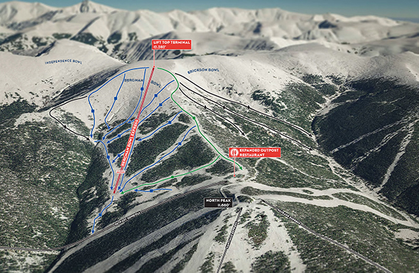
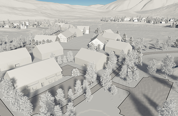
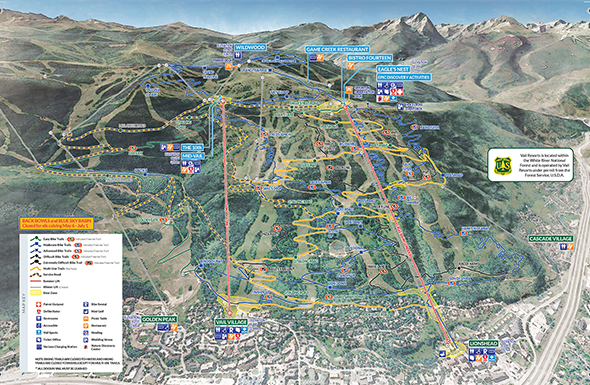
ELEV8 is also strategically aligned with Contour Design Collective, a full-service strategic planning, permitting, design and construction oversight firm specializing in mountain resort and outdoor recreation planning and amenities.

Our services

the things we do

Geospatial Services

Our geospatial service offerings are the core of all we do and provide the foundation of our Mapping and Cartography and 3D Modeling and Visualization services, as well. A strong comprehension of spatial data combined with our experience and expertise transform information into meaningful insight.

read more

Mapping & Cartography

Our mapping and cartography services provide solutions and products that live in the web or hang on your wall. Whether deploying simple internet maps or building complex map applications with customized features and functionality and tailored graphical user interfaces, we have a range of web-based map offerings to serve your needs.

read more

3D Modeling & Visualization

Our 3D Modeling & Visualization services transform your data and ideas into life-like images and animations, providing a highly effective means of visually communicating your concepts and proposals. Whether creating complex, spatially-accurate modeled 3D environments and landscapes, or performing simple photo-realistic graphic simulations, we have solutions that bring your data and plans to life.

read more

Web & Application Development

ELEV8 develops web-based maps and geospatial applications employing state of the art technologies on industry standard platforms. Our solutions integrate your data with analytical operations that enable secure data sharing across your organization’s network, or provide a platform for communicating your vison and story to broader audiences using map-based interfaces that are visually compelling and information rich.

read more


Data-driven. It's not just industry jargon,

it's the foundation of everything we do.

Our Work

some select project examples

Get in touch

let's work together